“We’ll have to change the courtesy flag from Swedish to Danish at some point”, says the First Mate emerging from the cabin with a bowl of muesli. “Here’s your breakfast. I’ll make a cup of tea when you have finished it.”
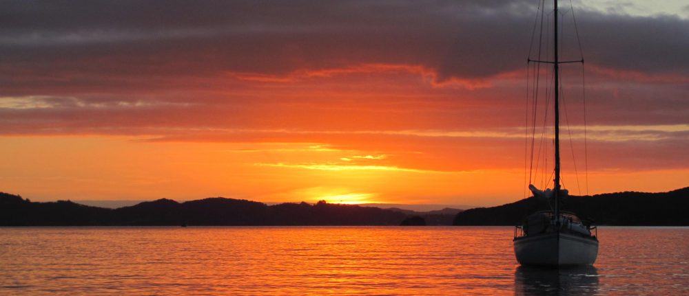
We are on our way to Ertholmene, the ‘Pea Islands’. We had left Utklippan in the half light of dawn, even before the sun was up, carefully navigating our way out of the narrow exit to the guest harbour only a little bit wider than the width of the boat itself. All was quiet, as far as we could see we had been the first to leave. Even the intelligent rubbish bins had seemed to be asleep. A fresh wind was blowing from the south-east, so we had unfurled the sails almost straightaway. Silhouetted against the red light of dawn, the lighthouse seemed to be wishing us a safe journey, as it had no doubt done to many sailors before us.

“That’s a beautiful sunrise”, says the First Mate, bringing out two mugs of tea and sitting down beside me. “You don’t see that often.”
“That’s because you are not often up at this time”, I joke. “It’s the best part of the day. Peaceful and quiet.”
She’s a night owl, I am an early riser. A perfect combination.
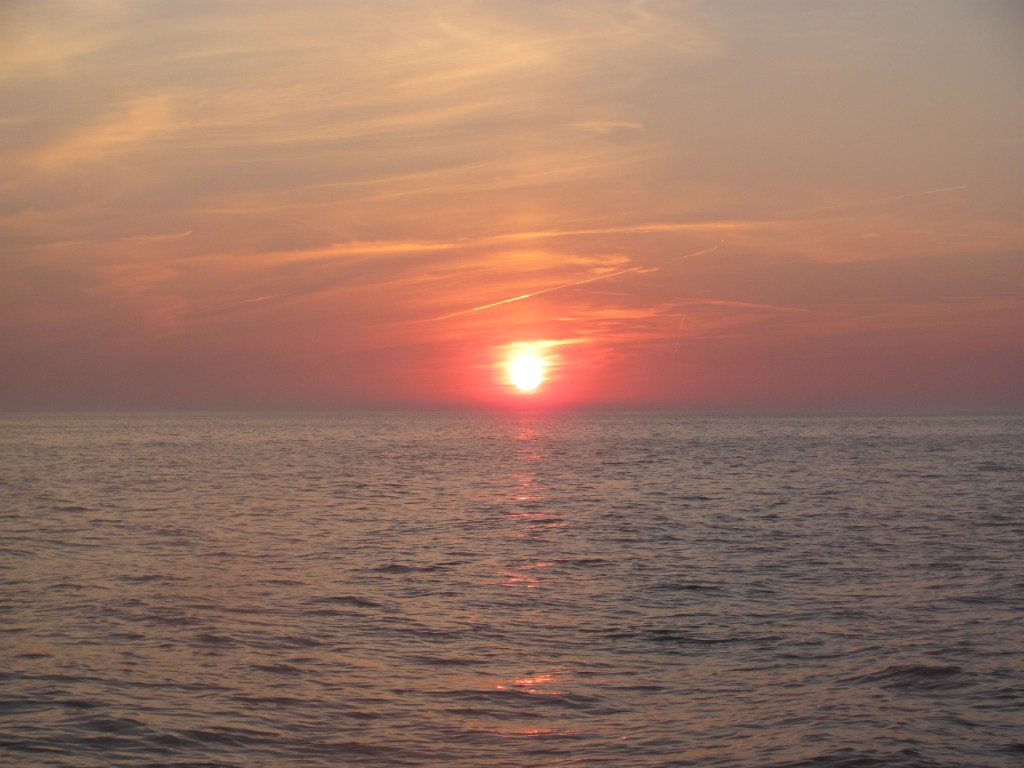
We sail south-westwards on a comfortable close reach, the sea miles sliding smoothly under the keel. The hours pass.
“There’s a Swedish boat called Obsession following us”, I say, pointing to the chart-plotter. “I remember it being in Utklippan. It’s going faster than us, but I think that we have enough of a lead to get there first. We don’t want to lose our place at the ferry dock.”
We had called the harbourmaster at Christiansø earlier, to check that there would be enough space there for us. As it is only a tiny harbour, it can become very full at the height of the season.
“No problem”, he had reassured us. “The ferry goes at 1400h, so if you arrive just after then, you can tie up at the ferry dock. It’ll be free until 1000h the next morning.”
The wind strengthens, and moves round more to the east. We are now on a beam reach and doing 7½ knots. The sea also becomes choppier.
“Phew, this is a bit bouncy”, says the First Mate. “Can’t we go a bit slower? Look, there’s land ahead. It must be Christiansø.”
Christiansø is the largest of the islands of the Ertholmene archipelago, which belongs to Denmark. In fact, the whole archipelago is often referred to as Christiansø despite there being three other islands, two of which are designated as bird reserves and therefore out of bounds without a permit.
We round the south-eastern point of Christiansø, and the harbour suddenly appears, nestled in the narrow gap between two of the islands.

The ferry to the mainland is just leaving, and true to his word, the harbourmaster waves us to the place it has just left. About an hour later, Obsession arrives, and ties up behind us.
“I could see you on the AIS”, says the skipper. “I was trying to catch you up, but you had too much of a start on me. I’m Ingemar, by the way. I am on my way back to Malmö where I overwinter.”
I tell him that that is also where we have finally decided to keep Ruby Tuesday for the winter.
“It’s a good marina”, Ingemar says. “I grew up in Malmö. The harbourmaster is an old schoolfriend. He’ll look after your boat well.”
There doesn’t seem to be anyone else on his boat.
“I am sailing single handed”, he says, reading my thoughts. “I live in the south of France nowadays, and spend each summer sailing around the Baltic. I did the Stockholm archipelago this year.”
I am impressed. His boat is a 53-footer weighing 24 tonnes, dwarfing Ruby Tuesday. It can’t be easy to sail it by oneself.
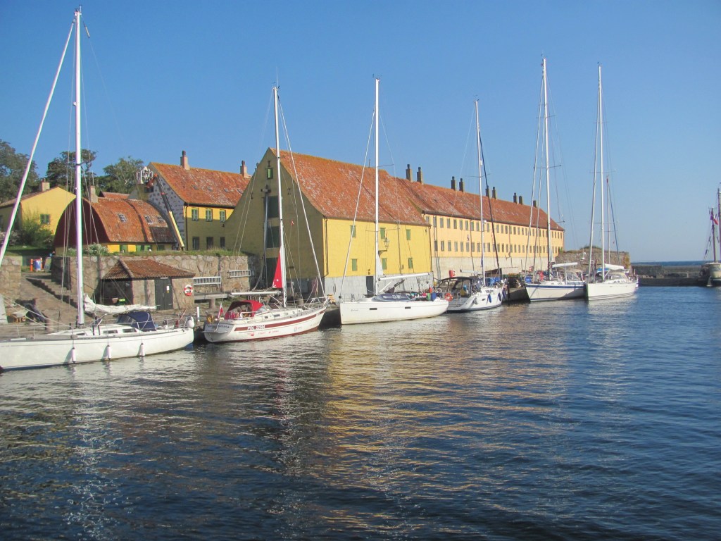
“Coffee’s ready”, calls the First Mate from the cockpit. “Drink it up quickly. I want to go and explore the place.”
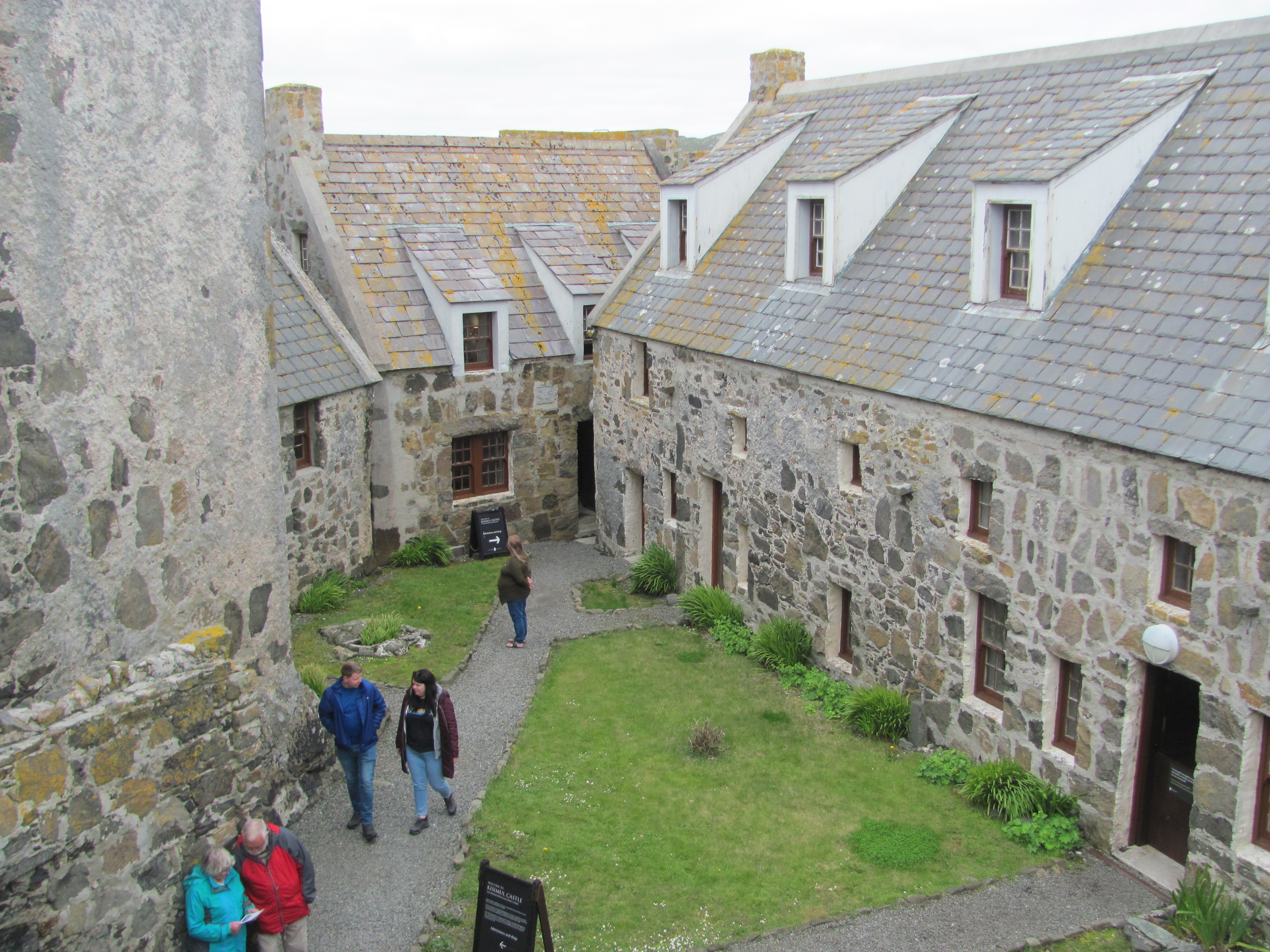
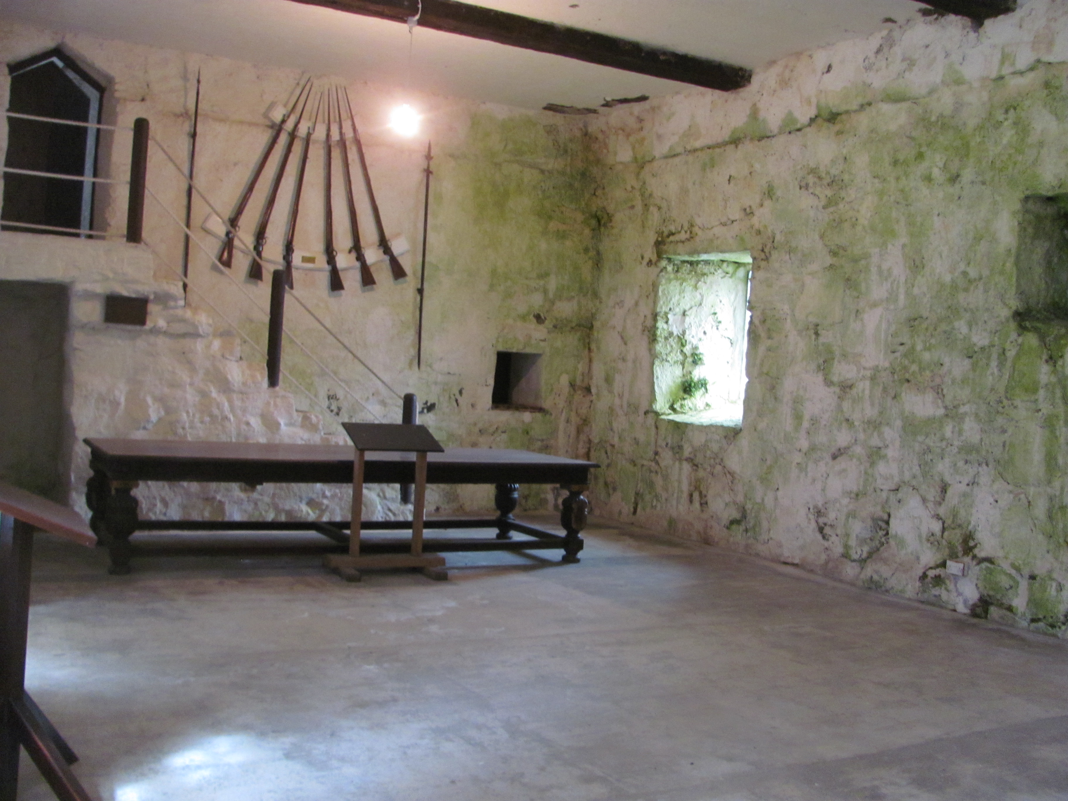
Christiansø was built by the Danish as a military fortification during the Swedish-Danish wars in the late 1600s. Part of the fortifications were two towers, both of which have been renovated and now contain museums.
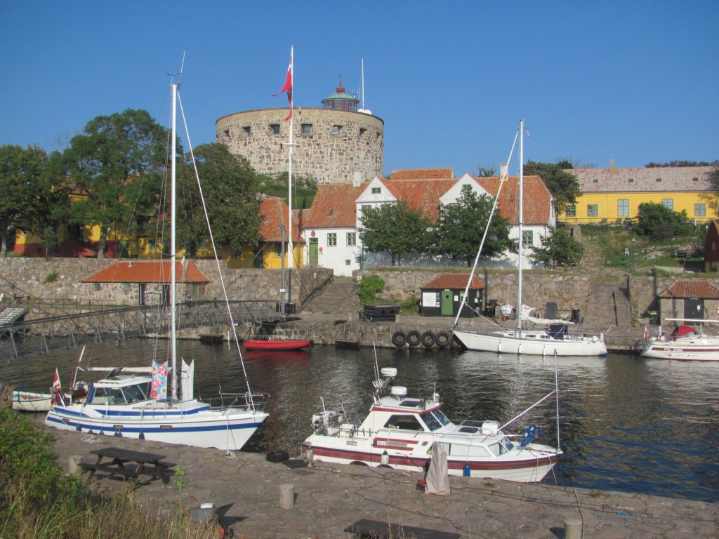
“The English attacked the island in 1808 in what is known as the English Wars of 1801-1814”, one of the museum displays tells us. “They destroyed several of the fortifications and captured some of the Danish ships in the harbour, but were not able to capture the whole island, so they withdrew.”

I am somewhat surprised, as I was not aware of war between Denmark and Britain. But Google tells me later that it was all part of the Napoleonic Wars, and that France and her allies were trying to prevent British trading vessels from entering the Baltic Sea. As Denmark was an ally of France at that time, Danish forts were considered legitimate targets. The Royal Navy had bombarded the city of Copenhagen the year before in an attempt to seize the Danish fleet to stop it from being used by the French. They had then moved on to Christiansø to prevent it being used as a base for state-supported privateers to attack British merchant shipping.
“Don’t worry”, says the harbourmaster with a grin. “It’s all history. We quite like seeing British boats here nowadays. As long as they don’t try and finish the job they started in 1808. But we don’t get many coming anyway since Brexit.”
We take a quick walk around the rest of the island. A foot bridge joins Christiansø with the neighbouring island of Frederiksø.

On Frederiksø is the Lille Tårn, or Small Tower, now a cultural museum.

In the morning, we need to leave before 1000h to make way for the ferry’s arrival. Obsession leaves first, easing away from the quay, and we follow her out of the narrow harbour entrance. Immediately, the wind picks up from the south-west, and we zip along on a comfortable beam reach, heading for the small harbour of Allinge-Sandvig on the island of Bornholm, 13 NM away. After a couple of hours or so, however, we enter the wind shadow in the lee of Bornholm, and the wind gradually dies to nothing. We drift for a while, but with the sails flapping listlessly, we are reduced to furling them away and motoring the last few miles into the harbour.
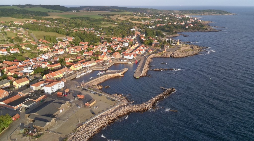
“What about coming over for a drink later on?”, says Ingemar, as he helps us to tie up in front of Obsession.
“Sounds good”, I say.

There’s just enough time before then to have a quick look around the town. Originally a small fishing settlement, Allinge prospered in the Middle Ages from the Hanseatic herring trade, with masses of Baltic herring being shipped to southern Europe for Catholics to eat on their ‘meatless’ days. In 1946, it officially joined with the neighbouring fishing village to become Allinge-Sandvig.
Nowadays, the colourful houses and streets exude charm in the typical Danish fashion that we had grown used to in southern Denmark three years ago.

The Allinge Technical School was built in 1895 with the aim of training craftsmen. Currently it is used as offices.
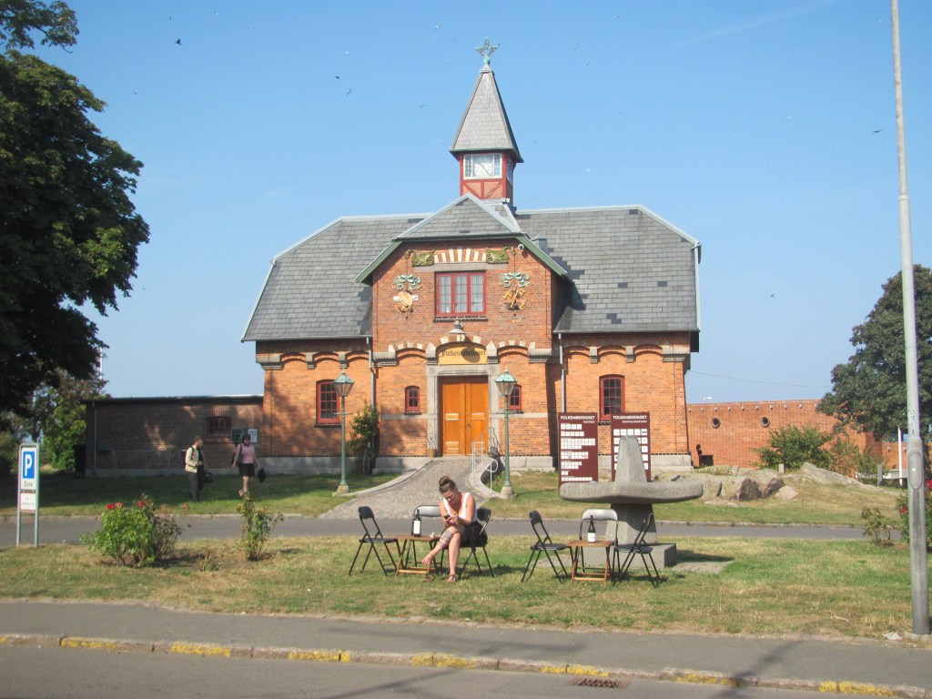
The Public Meeting Dome can be rented for various events.

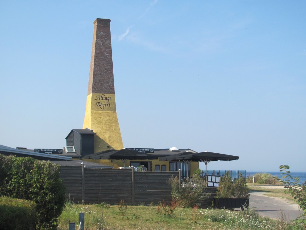
An the way back, we pass one of the two smokeries in the town.
“Welcome to Obsession”, Ingemar says, as we clamber aboard. “Yes, I am retired. But I have been sailing most of my life. I started off running charters in various places, including the Caribbean. Later I started a company making desalinisation equipment for the marine industry, removing the salt from seawater to make fresh water. The company did very well, and we ended up fitting our gear on a lot of the luxury yachts. One superyacht, for example, owned by a Russian oligarch, had two swimming pools – one for the adults and one for the kids, with the water for each coming from our desalinators. Anyway, I sold the company a few years ago, invested the money, and now spend the summers sailing.”
“I bet you could tell some great stories about the rich and famous?”, prompts the First Mate.
“I could, but I am not allowed to”, answers Ingemar with a smile. “Most of the jobs we did are covered by non-disclosure agreements.”
“Getting back to the Caribbean”, I say, “I read a fascinating book recently on a sailboat that was hand-built there. On the island of Bequia. A friend of mine who lives in Australia recommended it to me.”
“I know Bequia well”, says Ingemar. “It’s my favourite Caribbean island.”
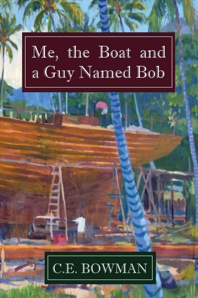
“The boat was built by a young Californian chap called Chris Bowman back in the 1970s”, I continue. “It was commissioned by Bob Dylan, but the agreement was that they would be joint owners of her. They named her Water Pearl. The book is called Me, the Boat and a Guy named Bob. It’s a good read.”
Ingemar’s brow furrows, as though he is trying to recall a memory from long ago.
“I knew Chris”, he says after a pause. “I was there on Bequia at the same time as him. I remember him building that boat. But didn’t she sink or something?”
“According to the book, she hit a reef at night at the entrance to the Panama Canal”, I say. “Despite their best efforts to rescue her, they couldn’t drag her off, and they had to leave her to break up. It was quite poignant really.”
”I wonder what Chris is doing now?”, asks Ingemar. “We didn’t keep in touch.”
“He lives in Western Australia”, I say. “My friend Tony met him at a book club meeting to which Chris was invited to come and talk about his new book. He married the girlfriend Vanessa of whom he talks about in the book, and they settled in Fremantle. She is Australian.”
“I remember her too”, says Ingemar. “It’s indeed a small world. I’ll have to buy the book.”
—-
The cold wind whips across the ramparts as the three figures furtively make their way through the dark shadows. Their years of imprisonment and the cruelty of their captor have sharpened their resolve, and now, with the fortress guard lulled by the monotonous night watch, the time for escape has come.
The woman unrolls the crude rope she had fashioned from bedsheets and drops it over the wall, trying to put the roaring of the sea below out of her mind. Weak from his illness, her husband ties it around his waist, and the woman and the servant slowly lower him over the side, the linen straining under the weight. Reaching the grassy mound at the base of the fortress wall, the man unties the rope and tugs it to signal that he is safe. The woman and servant follow, climbing down by themselves. The three pause for a minute to regain their breath, wrap themselves in the bedsheets for warmth, and with one last look at the ramparts to see if they have been discovered, disappear down the rocky path to the sea.
In his haste, the servant falls and twists his ankle, his cry echoing into the night. Lights and faces appear on the ramparts of the fortress, the alarm is raised. As the escapees pass a local inn, a dog begins to bark. The innkeeper, aroused from his sleep, is about to investigate, but, seeing the three white figures passing eerily by, believes he is seeing ghosts, and pulls the blankets tighter over his head.
The fugitives continue their escape, but they are hindered by the injured servant. Eventually, as dawn breaks, they reach the nearby harbour of Sandvig, but just as they are about to board a small boat that will take them to safety, the fortress guards appear. Their brief taste of liberty is over, and the couple are returned to the grim confines of Hammershus, their fate now darker than ever.
“It’s a good story, isn’t it?”, says the First Mate in my ear.
We are in the museum at Hammershus Fortress on the north-western tip of Bornholm, and I am reading a panel on the daring escape of one Leonara Christina Ulfeldt in 1660, a member of the Danish royalty who was imprisoned in the imposing fortress along with her husband, Corfitz, who had been accused of treason.

We had cycled over from Allinge harbour that morning, puffing our way to the top of the hill on which the Fortress was built in the 1200s. The largest in Scandinavia at the time, it was built when there were major struggles between the king and the church in Denmark, and served as a stronghold for the church. Over the years, various kings did manage to conquer it several times, but weren’t powerful enough to keep hold of it, and it was always surrendered back to the church. Until Frederik I, that is. In 1525, he decided that enough was enough, and chased the archbishops out of it for good.
“It’s amazing how powerful the church was at that time, isn’t it?”, says the First Mate. “They must have been terribly wealthy.”

“Frederik I then gave it to Hanseatic merchants from Lübeck”, the next panel tells us. “However, despite their own wealth, the merchants taxed the local population heavily and coerced them to provide labour to extend the fortress. The people did rebel against them, but their uprising was brutally put down.”
Then in 1576, the King installed his own vassals there to use as an administration centre with courtroom, prison and gallows, with the proviso that they restore it, but they ended up taking the taxes from the local people to line their own pockets and letting the fortress fall even further into disrepair. It was during this time that Leonora and Corfitz Ulfeldt were imprisoned there.
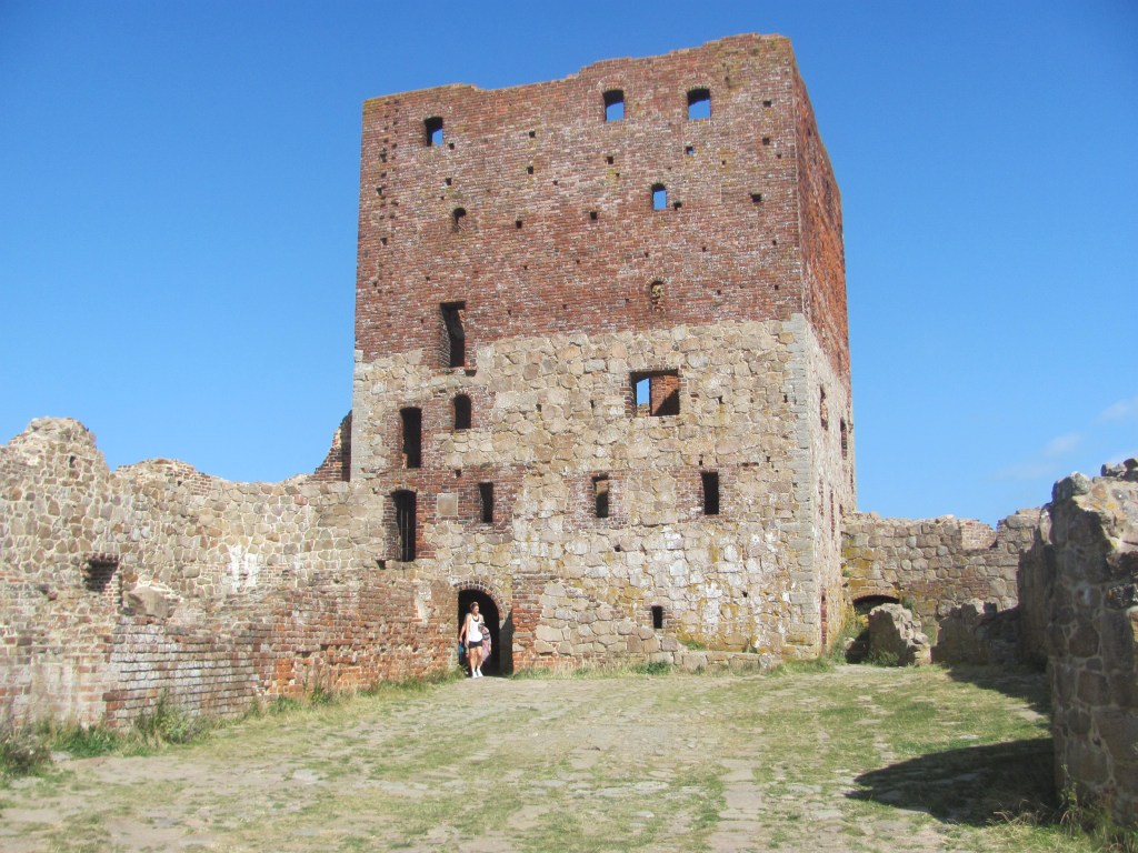
“Wow, you can sort of see why the local people on Bornholm had a deep loathing of the castle”, says the First Mate over a coffee at the end. “Everyone seemed to do all right out of it except them.”
“But I read that Bornholmians nowadays are quite proud of its dark history, and are helping to restore it again”, I say. “They think it is worth preserving.”
On the way back, we cycle past Sandvig harbour where the Ufeldt couple hadn’t escaped from.
“If the servant hadn’t twisted his ankle, they might have been able to get away”, says the First Mate. “As it was, she had to spend the next 22 years in solitary confinement.”

We arrive back at the boat. Someone seems to be waiting for us.
“Wow, is that your boat?”, he says. “I was just admiring it. Have you come all the way from Britain? I saw your flag. I’m Jason, by the way, and this is Harold. He has been walking a lot today and is a bit tired.”
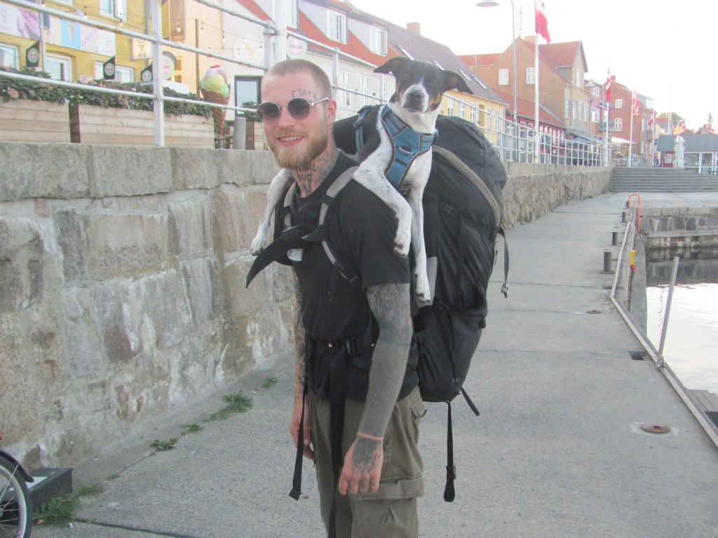
Harold looks a bit dejected, but on hearing his name, manages a bark.
We tell them that we have sailed from Britain, but it has taken four years to do it. Our plan is to explore as much of Europe as possible by sea, but we are in no hurry. At the moment we are doing the Baltic.
Harold pricks up his ears.
“Wow, that is so cool”, says Jason. “I am a poor student from Copenhagen, but I have decided to take a year out and hitch-hike around Denmark first of all, then we’ll see how we get on after that. But I would love to do it by boat. You have inspired me to work hard and save up, and do something similar.”
Harold wags his tail.
“I think he’s spotted a mink over there”, says Jason. “There’s a few of them around.”